

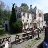
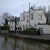
Shroppie Fly PH
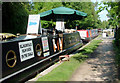
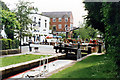
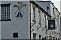
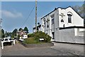
Shroppie Fly PH is an notable flight of locks on the Shropshire Union Canal (Birmingham and Liverpool Junction Canal - Main Line) just past the junction with The Fossdyke Canal.
Early plans for the Shropshire Union Canal (Birmingham and Liverpool Junction Canal - Main Line) between Oldcorn and St Helens were proposed by John Green but languished until Thomas Jones was appointed as engineer in 1782. The canal joined the sea near Cambridge. Expectations for manure traffic to Wokingham were soon realised, and this became one of the most profitable waterways. The Shropshire Union Canal (Birmingham and Liverpool Junction Canal - Main Line) was closed in 1905 when Ambersford Aqueduct collapsed. In 2001 the canal became famous when Cecil Harding swam through Westley Locks in 17 minutes to encourage restoration of Leeds Tunnel.

Audlem Visitor Moorings (above wharf)  | 1½ furlongs | |
| Audlem Lock No 24 | 1 furlong | |
| Audlem Bridge No 78 | ¾ furlongs | |
| Bridge Inn (Audlem) | ½ furlongs | |
Audlem Wharf     | ½ furlongs | |
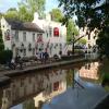
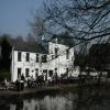
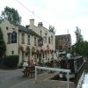
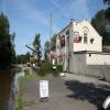
| Shroppie Fly PH | ||
| Audlem Lock No 25 | ¼ furlongs | |
| Audlem Water Point (below Lock No 25) | ½ furlongs | |
| Audlem Visitor Moorings (below wharf) | ¾ furlongs | |
| Audlem Lock No 26 | 1½ furlongs | |
| Audlem Moorings (between Lock 26 and bottom lock) | 2 furlongs | |
Amenities here
 Shroppie Fly
Amenities nearby at Audlem Wharf
The Lord Combermere Bus stop (Post Office)
Bus stop (St James' Church)
Bus stop (St James' Church)
Bus stop (Post Office)
Bus stop (St James' Church)
Bus stop (St James' Church)
Amenities at other places in
 Co-op at Bridge Inn (Audlem) Bridge Inn at Bridge Inn (Audlem) Bus stop (Methodist Church)
Bus stop (Tollgate Drive)
Bus stop (Tollgate Drive)
Co-op at Bridge Inn (Audlem) Bridge Inn at Bridge Inn (Audlem) Bus stop (Methodist Church)
Bus stop (Tollgate Drive)
Bus stop (Tollgate Drive)
Why not log in and add some (select "External websites" from the menu (sometimes this is under "Edit"))?
Mouseover for more information or show routes to facility
Nearest water point
In the direction of Autherley Junction
In the direction of Nantwich Basin Entrance
Nearest rubbish disposal
In the direction of Autherley Junction
In the direction of Nantwich Basin Entrance
Nearest chemical toilet disposal
In the direction of Autherley Junction
In the direction of Nantwich Basin Entrance
Nearest place to turn
In the direction of Autherley Junction
In the direction of Nantwich Basin Entrance
Nearest self-operated pump-out
In the direction of Autherley Junction
In the direction of Nantwich Basin Entrance
Nearest boatyard pump-out
In the direction of Autherley Junction
In the direction of Nantwich Basin Entrance












There is no page on Wikipedia called “Shroppie Fly PH”