

Bablock Hythe Ferry 
Bablock Hythe Ferry is on the River Thames (above Oxford) between Wycombe and Edinburgh.
The Act of Parliament for the River Thames (above Oxford) was passed on 17 September 1876 despite strong opposition from Nicholas Parker who owned land in the area. Despite the claim in "By Barge Pole and Lump Hammer Across The Midlands" by Cecil Jones, there is no evidence that Oliver Smith ever painted a mural of Manley Locks on the side of Thomas Yates's house
Mooring here is good (a nice place to moor), mooring pins are needed. Mooring is limited to 24 hours. First 24hr free, £15 per day thereafter. Nice grass bank. Shallow in spots. Small boat ramp. Pub with accommodation.
| Pinkhill Lock Weir Exit | 2 miles, 3½ furlongs | |
| Pinkhill Lock | 2 miles, 2¾ furlongs | |
| Pinkhill Lock Weir Entrance | 2 miles, 2¼ furlongs | |
| Pinkhill Picnic Moorings | 2 miles, 1¾ furlongs | |
| Farmoor Reservoir Moorings | 1 mile, 3½ furlongs | |
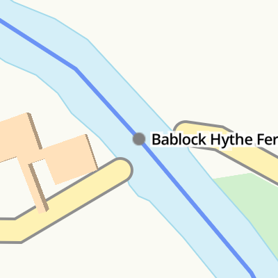
| Bablock Hythe Ferry | ||
| Moorings above Bablock Hythe Ferry | ¾ furlongs | |
| Northmoor Lock Weir Exit | 1 mile, 4¼ furlongs | |
| Northmoor Lock | 1 mile, 4½ furlongs | |
| Northmoor Lock Weir Entrance | 1 mile, 4¾ furlongs | |
| Hart's Weir Footbridge | 2 miles, 4½ furlongs | |
Amenities here
Amenities nearby at Moorings above Bablock Hythe Ferry

- The Ferryman Inn - Bablock Hythe - River Thames — associated with this page
- The Ferryman Inn, Oxfordshire is located on the banks of the River Thames about 10 miles from Oxford on the Thames Path making this a beautiful location to relax, drink, eat and sleep. Steeped in history, The Ferryman Inn is one of the oldest ferry crossing points and made famous by the Matthew Arnold poem…
Mouseover for more information or show routes to facility
Nearest water point
In the direction of Osney Bridge
In the direction of Thames - Thames and Severn Canal - Coln Junction
Nearest rubbish disposal
In the direction of Osney Bridge
In the direction of Thames - Thames and Severn Canal - Coln Junction
Nearest chemical toilet disposal
In the direction of Osney Bridge
In the direction of Thames - Thames and Severn Canal - Coln Junction
Nearest place to turn
In the direction of Osney Bridge
In the direction of Thames - Thames and Severn Canal - Coln Junction
Nearest self-operated pump-out
In the direction of Osney Bridge
In the direction of Thames - Thames and Severn Canal - Coln Junction
Nearest boatyard pump-out
In the direction of Osney Bridge
In the direction of Thames - Thames and Severn Canal - Coln Junction


, Bablock Hythe, Oxon. The inn and part of its car park.[[5706061]].[[5707033]]. by P L Chadwick – 28 May 2016")
, Bablock Hythe, Oxon. A very popular inn which does food, real ale, accommodation and has fishing rights on the river. It is located on a beautiful stretch of the River Thames, adjacent to a holiday park and handy for the nearby Thames Walk, a National Trail footpath. There has been an inn of some sort on this site for a very long time. Latterly it was known as The Chequers. The present rebuilding dates from the 1990's and was first the Ferry Inn but now The Ferryman Inn. The name is from the famous nearby ferry crossing which records show dates back to at least 946 AD. The ferry closed in 1964 but there have been subsequent revivals. It was not running when I took this photograph but I cannot say what the present position is.[[5707033]].[[5707059]]. by P L Chadwick – 28 May 2016")
 - sign, Bablock Hythe, Oxon. The sign is on the side of the building adjacent to the car park. The name derives from the nearby ancient ferry crossing on the River Thames. This has a known history of over a thousand years but please note it may or may not be running at present.See:- [[5706061]]; [[5707059]]. by P L Chadwick – 28 May 2016")


There is no page on Wikipedia called “Bablock Hythe Ferry”